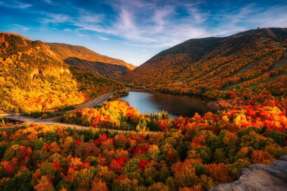





If you’ve ever launched a boat, dropped a fishing line or sat by the shoreline at the Pattenville Picnic Area along the Moore Reservoir in Littleton, New Hampshire, you’re looking out over one of the most serene bodies of water in the North Country.
Before the valley was inundated in the mid-1950s, Pattenville was a bustling small hamlet situated along the banks of the Connecticut River on the Littleton side, across from Upper Waterford, Vermont.
It was a classic New England river town...home to farmsteads, family homes, tree-lined roads, and vibrant local lives. Generations of residents farmed the fertile floodplain soil, crossed the river via local bridges and built their lives around the natural rhythm of the North Country.
However, as post-World War II New England rapidly expanded, demand for electric power skyrocketed. The powerful, rushing waters of the Connecticut River were seen as the ultimate source for clean, renewable energy and the valley surrounding Pattenville was identified as the ideal location for a massive hydroelectric station.
In the early 1950s, construction officially began on the Samuel C. Moore Dam.
For the people of Pattenville (and neighboring Upper Waterford), the impending dam meant saying goodbye to their hometown forever.
Before the gates closed and the basin was filled, an enormous effort took place to dismantle the village piece by piece:
**Homes & Structures: Buildings were auctioned off, moved inland to higher ground or completely demolished
**Infrastructure: Roads...including portions of Route 18...were realigned or slated to be submerged.
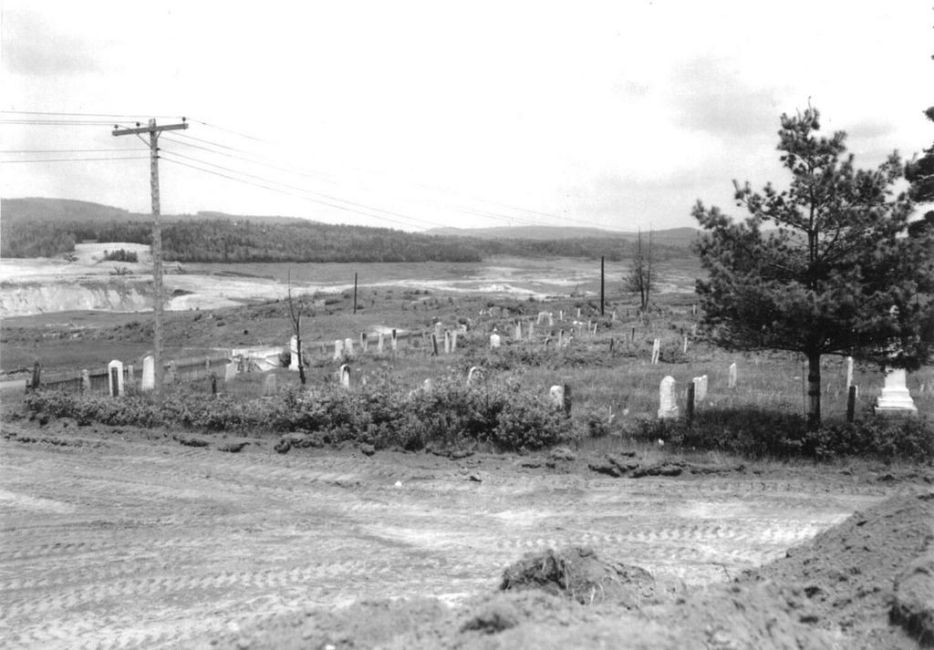
**Resting Places: Centuries-old local cemeteries were carefully exhumed by hand, and loved ones were relocated to surrounding towns like Littleton and St. Johnsbury to ensure their graves would not be lost under the rising tide.
By 1956, the dam was completed, and the waters began to rise.
Today, the Moore Reservoir is celebrated as an outdoor paradise. Known for its vast, pristine stretches of undeveloped shoreline, it offers incredible opportunities for boating, kayaking and fishing for northern pike, bass, and trout.
Submerged Stone Walls: On clear days or during seasonal water drawdowns, sharp-eyed boaters can still spot old stone farm walls disappearing straight into the depths...silent markers of ancient property lines.
The Pattenville Name: While the village itself is gone, its legacy lives on at the Pattenville Picnic Area, keeping the town's memory alive for visitors who pause to admire the sunset over the water.
Pattenville stands as a powerful reminder of the delicate balance between progress and history. Though its streets now lie quietly 60 to 120 feet below the surface, the story of the community that gave way to power the North Country remains an indelible part of New Hampshire’s heritage.